July 18, 2016

Port Covington needs a spine: Mc Cromwell Street

Attempting to relocate the existing Interstate 95 ramps to make Port Covington work is a crazy idea. The recent rejection of the federal grant request reinforces this. The planners need to go back to the drawing board.

The problems are virtually all at the Port Covington ends of the ramps, not at the I-95 ends of the ramps. When I-95 was built, the ramps were designed in a very competent manner, with proper sizes and spacing to handle as much future traffic as the expressway could absorb.

Interstate 95 is the main street of the entire east coast. Messing with it merely to suit a local development would open a major can of worms. (And you thought Chris Christie's New Jersey ramp-gate was bad.)

In light of this, one of my previous blog articles focused on how Hanover Street should be modified and partially eliminated through Port Covington to make its existing ramps work best.

At the same time, a concurrent premise was that Cromwell Street was largely adequate as-is and could simply be tweaked to work as necessary to improve its development and pedestrian environment, as well as its connections to the Hanover Street bridge to the south and its I-95 ramps at McComas Street to the northeast.

But building an entirely new Cromwell Street does have its advantages. It could result in a "cleaner" design and it would get the traffic farther away from the waterfront. The Port Covington plan calls for building virtually an entirely new street system on the site anyway, and even the remaining cost would be far less than the developer's plan, since it would allow much of McComas to be eliminated as well.

The key is to replace Cromwell Street, not eliminate it. The official Sagamore Development Company plan does just the opposite - it replaces Hanover through the site to handle through traffic and eliminates Cromwell's through traffic and ramp connections. Cromwell's baby is thrown out with the bathwater.

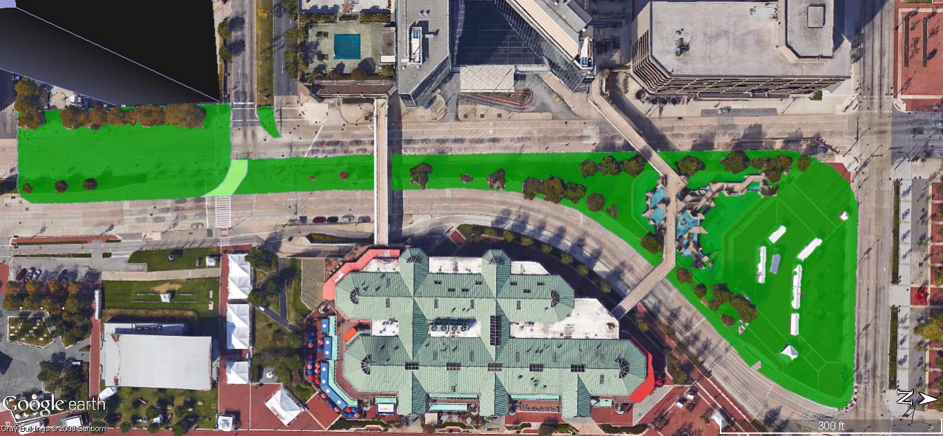
A Spine: How Cromwell Street could be relocated to connect seamlessly with the Hanover Street bridge
 to the south (bottom) and the existing McComas Street I-95 ramps to the northeast (top right).

Cromwell Street - not Hanover - is the key


Making whatever is the replacement for Cromwell Street work is the key.

The massive Port Covington project will generate a massive amount of traffic regardless of the street system, simply by virtue of its size. At the same time, through traffic must still be accommodated although some of it will divert simply because it will try to avoid the inevitable conflicts.

Hanover is a much worse street for heavy traffic than Cromwell because of its linkage to South Baltimore's residential areas and its expressway-style ramp merge/diverge conditions, which are very hostile to pedestrians.

The official Sagamore plan, despite spending a huge amount of money to relocate the ramps and lower the road down to grade, still keeps the existing southbound I-95 on-ramp, so it's not really much of an improvement. Hanover Street would also chop the development site in half in a much more severe way than Cromwell would.

The Sagamore Plan: Hanover Street north of the bridge is rebuilt as a wide, lowered boulevard which bisects the site.
Its I-95 on-ramp  is retained, but the other ramps are shoved off beyond the upper left corner of this "bird's eye" graphic,
where they are invisible but would be highly disruptive as traffic filters through the site grid.

The official plan also brings all the new ramps in and out at the extreme northwest (upper left) corner of the site, so all that ramp traffic needs to filter its way from there through the street system to the rest of the site. So that will increase the traffic on Hanover Street, as well as on the west waterfront boulevard (the west side mirror image of  Cromwell) and other streets.

Sagamore's plan presents an illusion of a quiet low-traffic local street grid, but it would really be quite the opposite. And it would get worse when clients for individual sites start planning their massive parking garages, which are inevitable since they have chosen not to locate in the city's downtown core with its maximum transit connections. (So far, there's been no evidence that Sagamore is serious about transit-oriented development, but that's a blog article for another time.)

The best way to accommodate the traffic is simply to focus as much of it as possible on Cromwell Street itself, moving the street as desired so that it works best with the development.

McComas + Cromwell = McCromwell = A spine for Port Covington


McComas Street already connects to ramps to and from I-95. So McComas should be integrated with Cromwell. That would make it "McCromwell Street". Or "McComwell", if you prefer to drop the "r" in deference to the "r"-less McComas.

The existing intersection of Cromwell and McComas at the northeast corner of the site has enough real estate around it to realign the streets in any way necessary to create continuity, so that the ramps will serve Port Covington as much as possible.

At the other end of Cromwell to the south, the kink in Hanover Street at the existing intersection just north of the bridge creates the opportunity to straighten out the road, while aligning the Hanover bridge seamlessly into Cromwell. It would look totally natural, as if it was always aligned this way.

So the relocated Cromwell Street would do a much better job of fulfilling the same purposes that Sagamore has attempted to serve by rebuilding Hanover Street and moving the ramps. It would also better serve the rest of the plan, being in proximity to its largest buildings. Tall and large buildings work best for large streets, making up in density and visibility what they lack in intimacy.

Other beneficial variations are certainly possible. The important point is that a great plan can be achieved without spending a huge fortune on roadway infrastructure, and particularly without tearing down the Interstate 95 ramps.

July 5, 2016

A New Park from Questar Tower to McKeldin Fountain

The 44-story Questar Tower now under construction in the Inner Harbor is an attempt to breathe life into traffic-oppressed Light Street. But so far it looks like a losing battle. The same can be said for the Harborplace renovation slated to start soon across street. Light Street traffic is so nasty that the city had to fence-off its most important crosswalk at Conway Street - a very bad way to introduce arriving tourists to the Inner Harbor.

Now the city and its business allies appear to be willing to try anything - even demolishing the McKeldin Fountain - in what looks more like an exorcism than a renewal plan.

Here's a better solution: Make McKeldin Fountain the centerpiece of a major new park that splits Light Street in half instead of acting as a mere glorified median strip. This park would extend for at least three blocks, virtually free of traffic conflicts, from Pratt Street southward around the fountain, beyond Conway Street to the Questar Tower.

A major new proposed park along Light Street in the Inner Harbor -
from the Questar Tower south of Conway Street (shown at left as a Google Earth mock-up) 
northward to the fountain and Pratt Street (at right).

The case of the Questar Tower


With the massive new Questar Tower, the Inner Harbor will no longer be able to afford the current dysfunctional dangerous intersection next door at Light and Conway Streets.

But the new park plan would reconfigure the streets so that the traffic signals at Conway and Light can be designed to enable all traffic in all directions to stop and start at the same time. When any traffic is stopped, all traffic would be stopped. Pedestrians could then be free to walk unencumbered in all directions - a far cry from the current chaotic condition.

One would think that building the city's tallest-ever residential tower would be such a big story that it would call attention to this. But the Port Covington and Harbor Point plans have dominated recent development news, because they will be major self-contained "cities with in a city", with an image of being sealed-off from traditional urban ills like traffic and human riff-raff. They're selling the new communities, not just the individual buildings.

The Questar Tower doesn't have that luxury.

Harbor Point and Port Covington have made a virtue out of their isolation. This is good for them but not so good for the city, where new development needs to be a tool to revitalize nearby areas - in the case of Questar Tower, the old downtown.

Even within the Inner Harbor, most recent attention has gone to renewing Rash Field, which is significant but removed from the center of things. The long-range Inner Harbor 2.0 plan is to build a huge expensive pedestrian bridge from Rash Field to Pier 6 and Harbor East, diverting the focal point of the Inner Harbor away from downtown permanently.

This diversion process has already been going on for awhile in both the city and public psyche. Most iconic city harbor views such as on TV news and weather reports are now shot outward away from downtown instead of inward at the downtown skyline as they were for most of the 20th century.

Construction to start on 414 Light Street tower
Questar Tower architect's rendering, looking west from the Inner Harbor.
The Oriole Park Warehouse at Camden Yards can be seen in the background at the end of Conway Street.  

The Questar Tower can't sell an idyllic new urban community like Harbor Point or Port Covington. It's one of the last pieces of an old puzzle, on a site that has stood vacant since the old McCormick Spice headquarters was demolished back in the 1980s. At that time, new development seemed imminent, but various plans came and went until Questar picked up the property at a foreclosure auction several years ago. And most people didn't seem to believe their project would really get going until shovels went into the ground just a few weeks ago.

Now the city must make sure it does just become an isolated ivory tower, but will be part of making the entire area more attractive - most notably the old downtown. Harborplace can no longer attract people by itself. The entire west shore of the Inner Harbor must be strong enough to serve as a counter-balancing anchor for the ever-expanding waterfront developments to the east and south.
 
Looking north at the park from the Questar Tower (left) toward the fountain with Pratt Street at the top.
Plan view of the park. The Harborplace Light Street Pavilion is at the bottom center.

Create the new park by splitting Light Street in two


The key to all this is to tame Light Street and make it into a "people place", an extension of the Inner Harbor which forms a real linkage to the surrounding areas from downtown to Otterbein to Camden Yards. This is impossible with Light Street's existing ten-lane configuration, especially at the intersection with Conway Street at the Questar Tower.

The city had a plan to narrow it down to a "mere" eight-lanes, which they've claimed has been pending a traffic study for many years. That was given as one of the rationalizations for knocking down the McKeldin Fountain, since the alignment would consolidate all these lanes along the street's west side where the fountain is located. But eight fully contiguous traffic lanes would become even more of a barrier between the Inner Harbor and the west side of downtown and the Questar site.

A genuine solution would be to split Light Street into two completely separate streets, with a real park in between instead of a glorified median strip. (Such a plan was first outlined in a Baltimore Brew article I wrote two years ago.)

The west street would serve only the heavy through traffic between Conway and downtown, while the east street would serve the more localized traffic around the Inner Harbor to South Baltimore. Both streets would probably need four lanes, two in each direction, leaving the remaining two lanes to be added to the existing median to create parkland. 

Most of the park, near the Questar Tower and McKeldin Fountain anchors, would be far wider than that.

The single lane that currently turns right along the south curb of Conway to southbound Light Street should also be retained for local circulation. Since it is the only lane that would cross the park, it should be given special pavement treatment and traffic control.

How to surround the fountain


The new park would essentially serve as the Questar Tower's front yard and its linkage to both the Inner Harbor and to the downtown spine along Pratt Street to the north. McKeldin Fountain would be its centerpiece.

Criticism of the fountain by proponents of demolition has focused on how massive and imposing it is. But for a much larger and more sprawling park, this mass would be a key advantage. From the south end of the park near the Questar Tower, the fountain would just look like a distant landmark. Moreover, by opening up the fountain with full 360-degree access, it would no longer be seen as a barrier.

Talented architects can certainly rise to the challenge of figuring out how to design the park to take maximum advantage of this new space and pedestrian access. Additional street crosswalks in the two blocks between Pratt and Conway Street across from Harborplace and the Hyatt Hotel can also be easily provided.

The upcoming long-awaited renovation of Harborplace provides additional opportunities. A significant aspect of the plan is to give its pavilions more "street presence" and de-emphasize the imposing truck loading facilities. The inward oriented marketplace as conceived in the 1970s by The Rouse Company will give way to a more outward orientation. This can work hand-in-hand with the new park plan.

McKeldin Fountain from its landlocked seldom seen backside. 
This would be its view from the south end of the park near the Questar Tower.

Let McKeldin Fountain flow - for water, traffic and people


A death watch seems to be on for the McKeldin Fountain, like Baltimore's muggy summer calm before the storm when water is suspended in mid-air.

The fountain was totally dry this past Fourth of July weekend when the Inner Harbor was supposed to looks its best. The crowds were heavy enough to gather by the fountain anyway, but it just stood there like an inanimate prop.

Water had been flowing through the fountain just a few weeks before when fewer people were paying attention. For at least several years, the Downtown Partnership has been lobbying and raising money for its demolition, saying that the fountain had just about seen its last days due to bad pumps. But it has been working much of the time since then.

Worn out pumps are a very poor excuse to demolish the fountain. And using the fountain as a scapegoat for traffic or design problems is even worse. Its design style has been dubbed "brutalism", which means it was never meant to be subtle or inoffensive. It simply needs the proper setting where water, traffic and people can flow together.